Import your property
Pull in ONX data or drop a fresh parcel search. Boundaries, public land, roads, water — all layered on real GIS terrain.
Live now Know your ground like never before
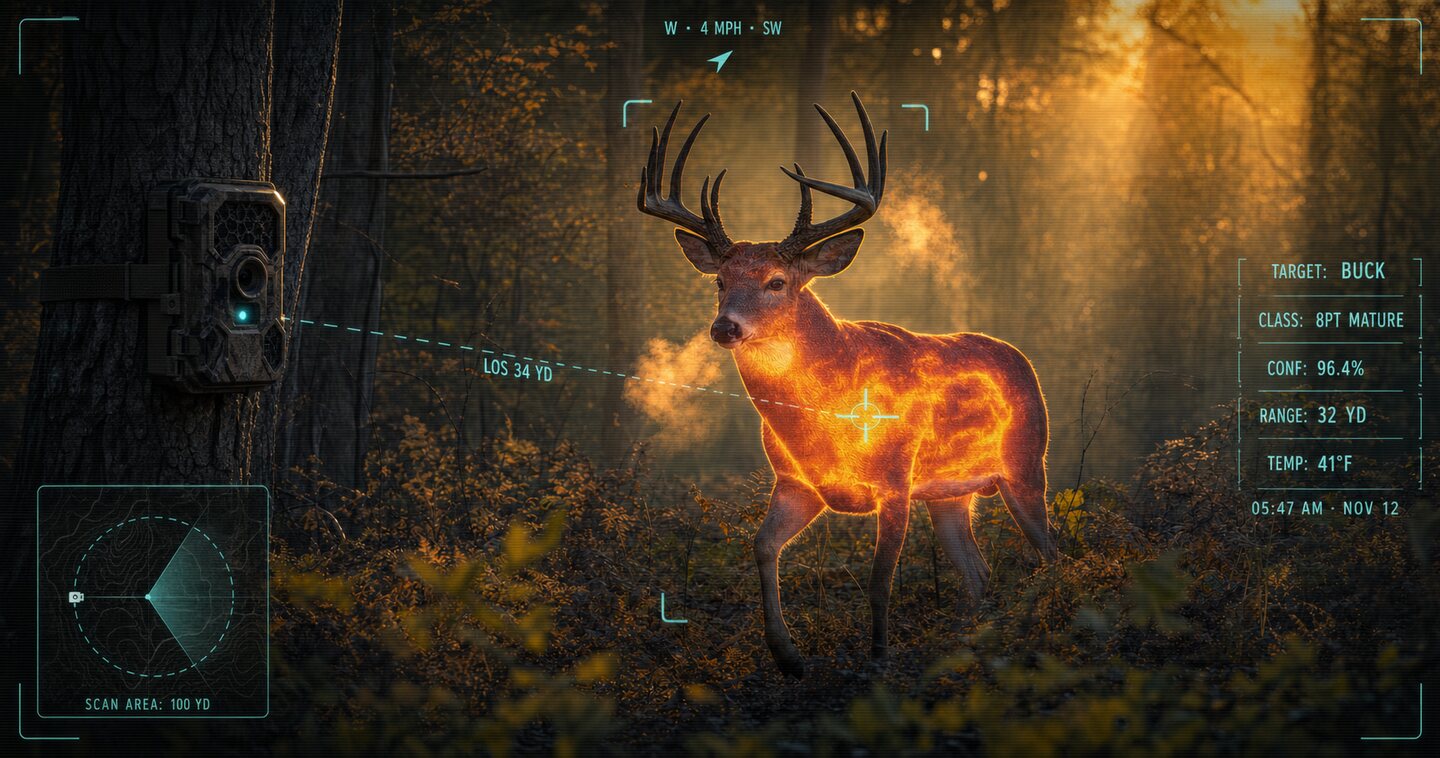
The AI hunting brain that reads your property, your bucks, your wind — and tells you where to sit tonight. Built on 30,000+ acres of real drone herd data. Nothing else like it has been built for a whitetail hunter.

Only available during the Green Top Outdoor Expo · ends Mon 11:59 PM ET
Twelve months of Captured Hunt Elite Unlimited plus one professional drone deer recovery for the 2026–27 Virginia season. Built in Virginia by Captured Media.
Only 100 passes

On your computer? Scan to buy on your phone.
Sign in or create your account, then check out. Ends Monday, Oct 5 at 11:59 PM ET.
No one can promise that. You get one full professional search and an honest report either way.
Your pass renews at the regular Elite Unlimited rate, $24.99/mo. Cancel anytime from the app.
Yes. Your monthly plan is cancelled when your pass starts, so you're never billed twice.
It's good for the 2026–27 Virginia deer season. If you don't use it, $250 rolls into a credit toward a Captured Media deer herd analysis, used by March 31, 2027.
Captured Media or one of our hand-selected affiliate pilots, depending on the day and your location.
No. The pass belongs to the hunter who buys it.
No. All pass sales are final.
How it works
Pull in ONX data or drop a fresh parcel search. Boundaries, public land, roads, water — all layered on real GIS terrain.
Treestands, blinds, cams, rubs, scrapes, bedding, sightings. Every icon hand-drawn. Move them, edit them, catalog your ground.
Wind, thermals, moon, front, rut phase — every stand ranked for tonight. Ask Jax anything. Answers grounded in your ground.
Analyze My Property
Real parcel boundaries for every state east of the Rockies. Public land layered next to private. Aerial imagery, topography, water. The complete picture — before you climb up.

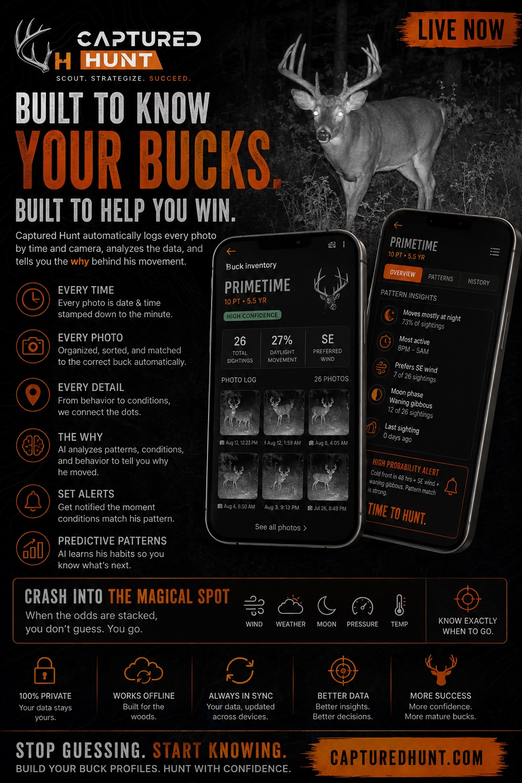
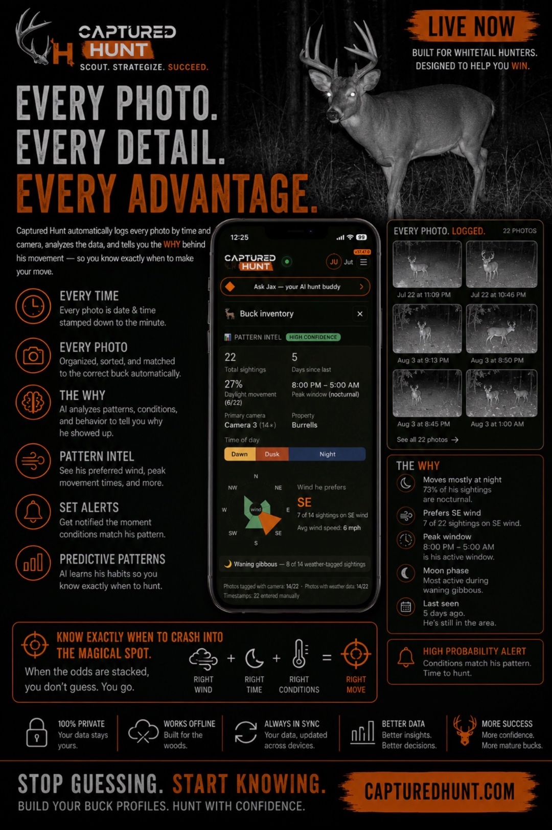
Buck Inventory
Trail cam photos logged by time and camera automatically. AI analyzes patterns, weather, and behavior — then tells you the why behind his movement. So you know exactly when to make your move.
Jax — Elite tier
Ask Jax anything. Where to sit tonight, what a cold front does to your setup, which buck is on which stand, how to slip in clean. Answers in seconds — grounded in your property's data. Not a chatbot. A guide.
Ask Jax
Based on your property, wind, and recent buck movement, I'd set up on the south side of the ridge. North wind will push scent down into that basin, and it's where he's been bedding the past 3 days.
Where to Sit
Every stand scored against tomorrow's wind, thermals, moon, front, and rut phase. Ranked. Reasoned. One tap for the call — and the cleanest walk-in that makes it work.
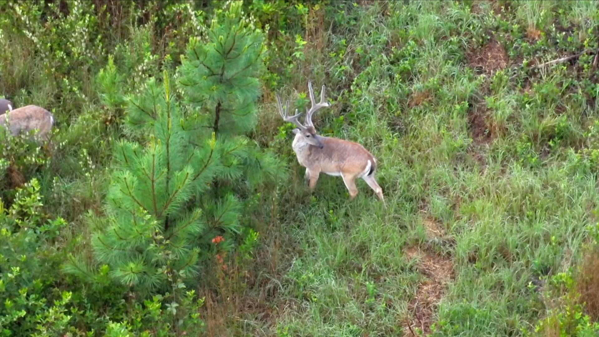
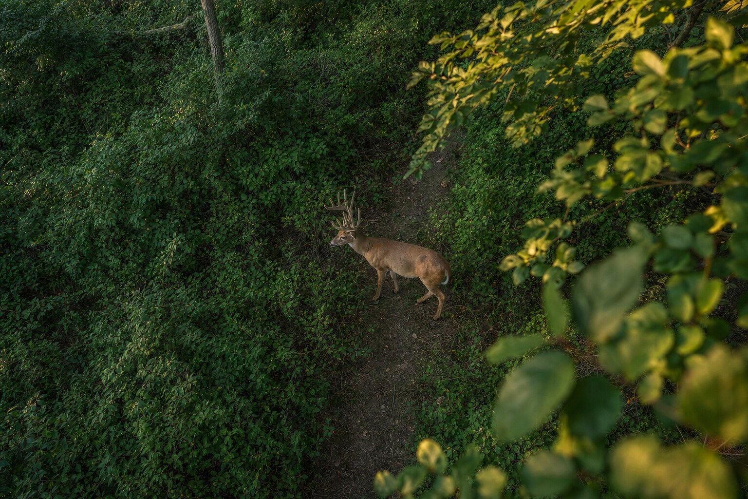
Powered by drone. Delivered by hand.
30,000+ acres of drone herd analysis. Thousands of bedded deer counted. Every mature buck, every doe, every fawn — thermal at dusk, optical follow-up in daylight. One mission: put more mature whitetails within your reach.
Full thermal drone sweep. Bucks, does, fawns — individually tallied. No estimates.
Daylight optical follow-up on every warm signature. Faces, not numbers.
Real beds from thermal + terrain analysis. Not guesses off a topo map.
Timber-to-food lines. Buck-only corridors. The pattern your ground actually runs.
November through April flights. VA + NC primary. Response within 24 hours.
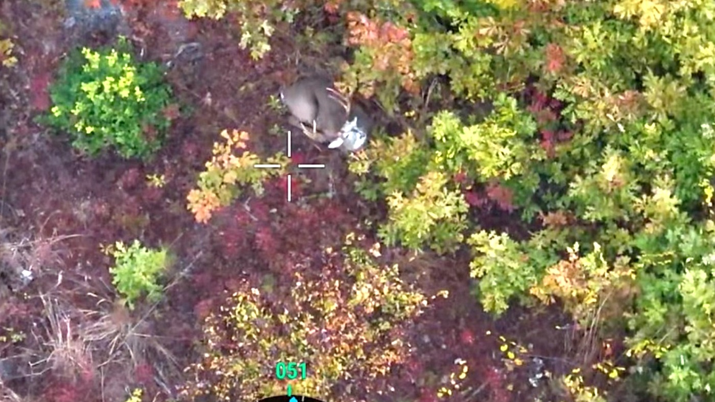
Wounded deer? We find them.
Infrared drone recovery across Virginia and neighboring counties. Same-night response when we can fly. Built by the guy who's flown 100+ recoveries and been featured in North American Whitetail.
In-app recovery zone mapping is free forever for every hunter. Shot direction, hit placement, blood trail markers, terrain-aware recovery zones.
“Many apps claim to change the game. This one has altered hunting whitetails forever.”
Years of development. Thousands of hours in the woods. 30,000+ acres of real-world deer experience. Captured Hunt is the most advanced whitetail hunting app ever built.
Pricing
$9.99/mo
$14.99/mo
7-day free trial · card required
Start free trial$24.99/mo
Cancel anytime, right from the app. No auto-renew tricks.